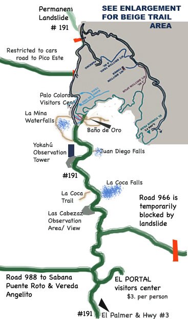
|
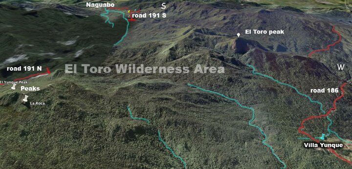
The above image gives you an idea of the length of the hiking trail from road # 186 to El Toro peak and then to the top of road # 191 N. . This is a very long trail and you need to make arrangements to be dropped off and picked up at the other end. This is a wilderness trail, it can be muddy. Roads # 191 N and # 191 S and # 186 are the only roads that reach high enough to get into the actual rain forest.
*** Rivers off of # 186 are perhaps, the most beautiful and also # 191 S but there are flash floods periodically and you must exercise extreme caution.
All lodging surrounding the rainforest
|